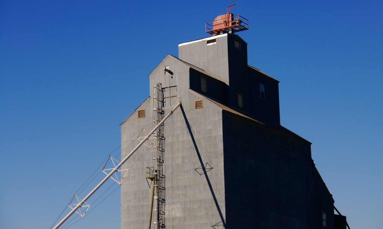
Oakesdale skyline.
Oakesdale, Whitman County, WA, November 2013.
pacific northwest

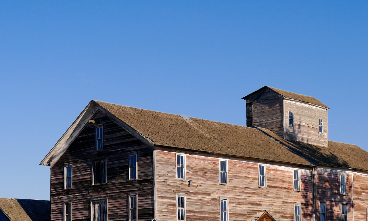
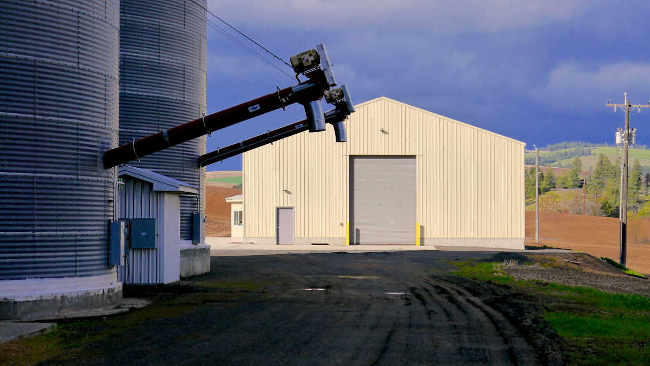
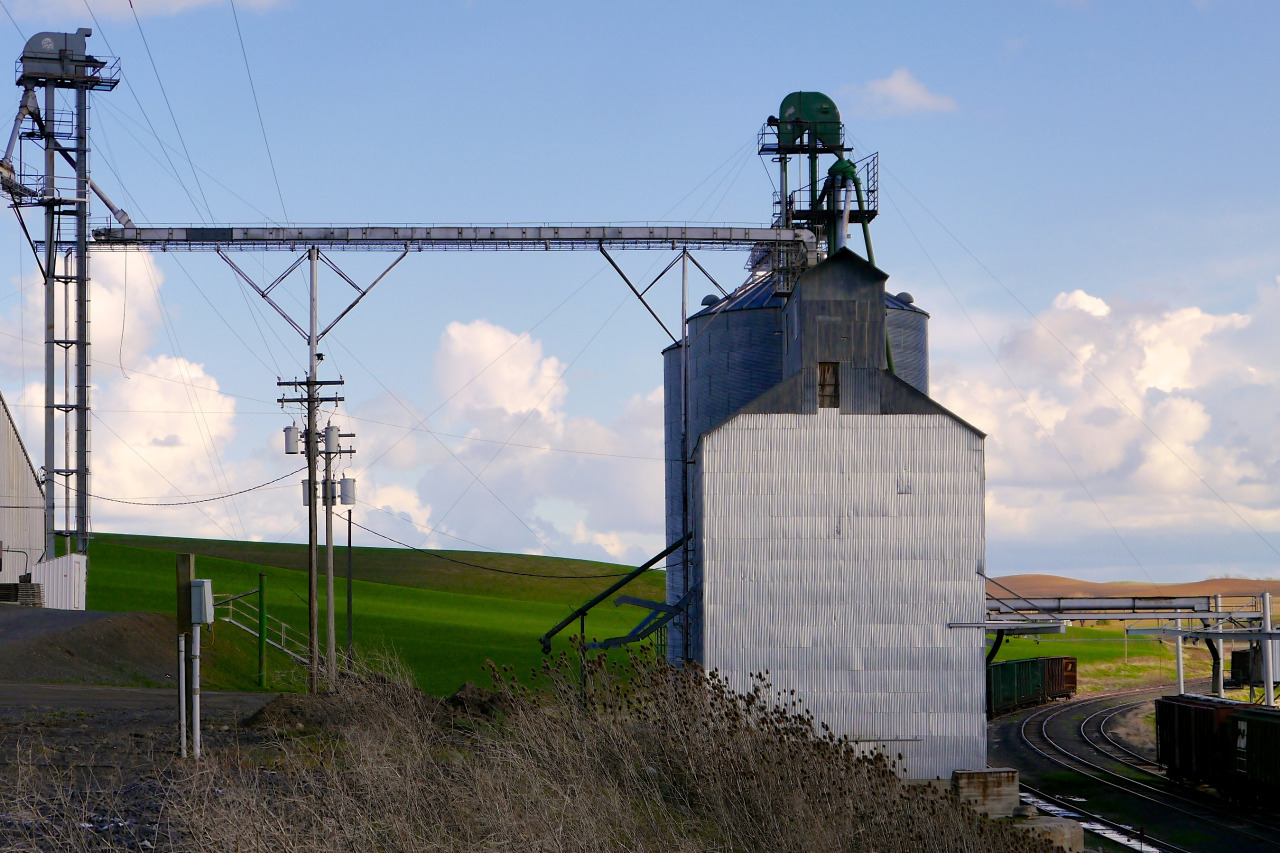
Wallace Grain & Pea Company, late November, 2014.


Oakesdale skyline.
Oakesdale, Whitman County, WA, November 2013.


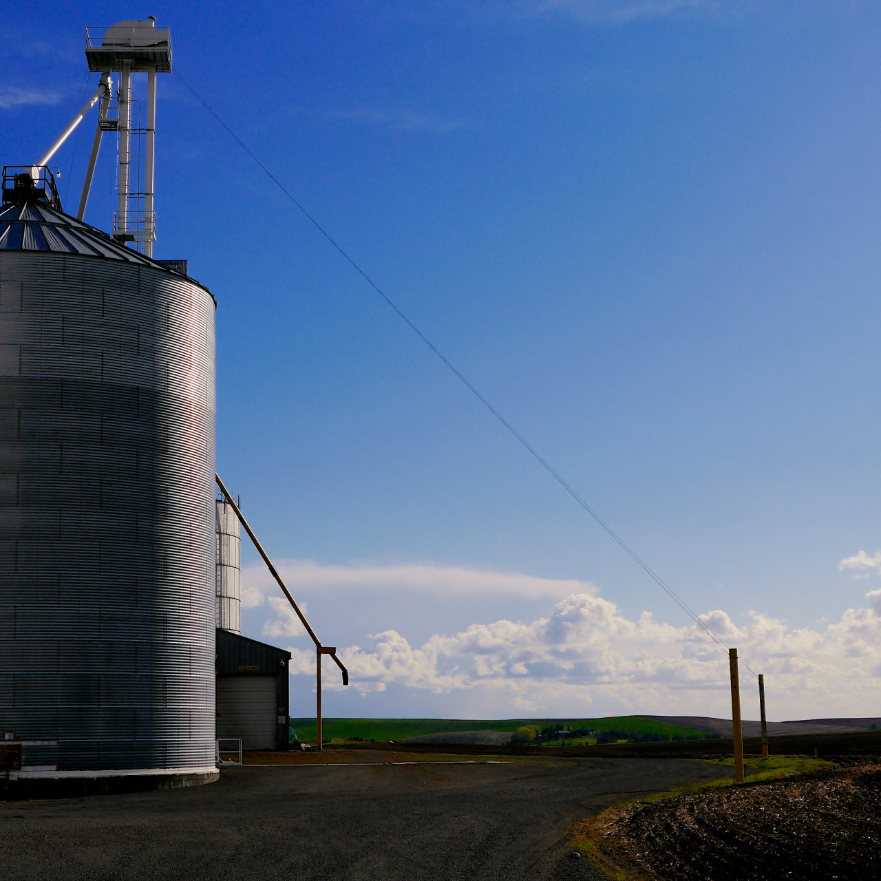
Wallace Grain & Pea Company, Palouse, WA, September 2014.


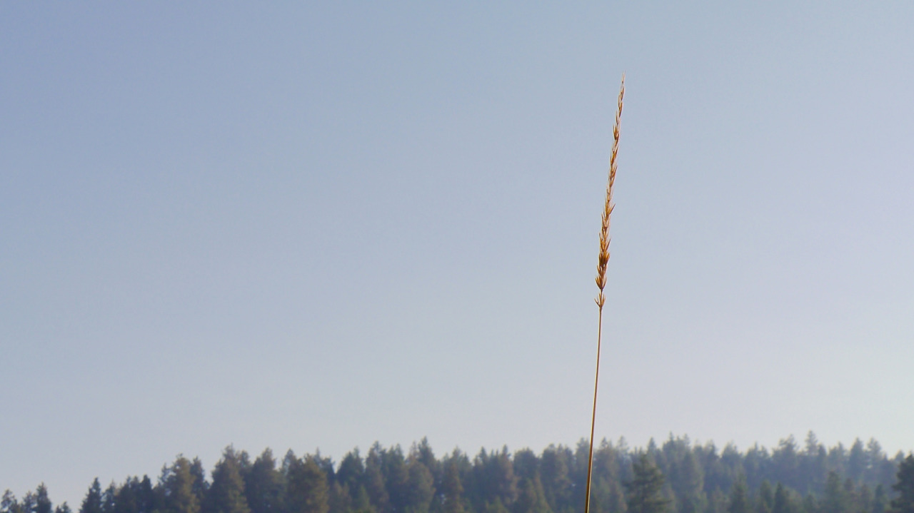
Grass, March to September.
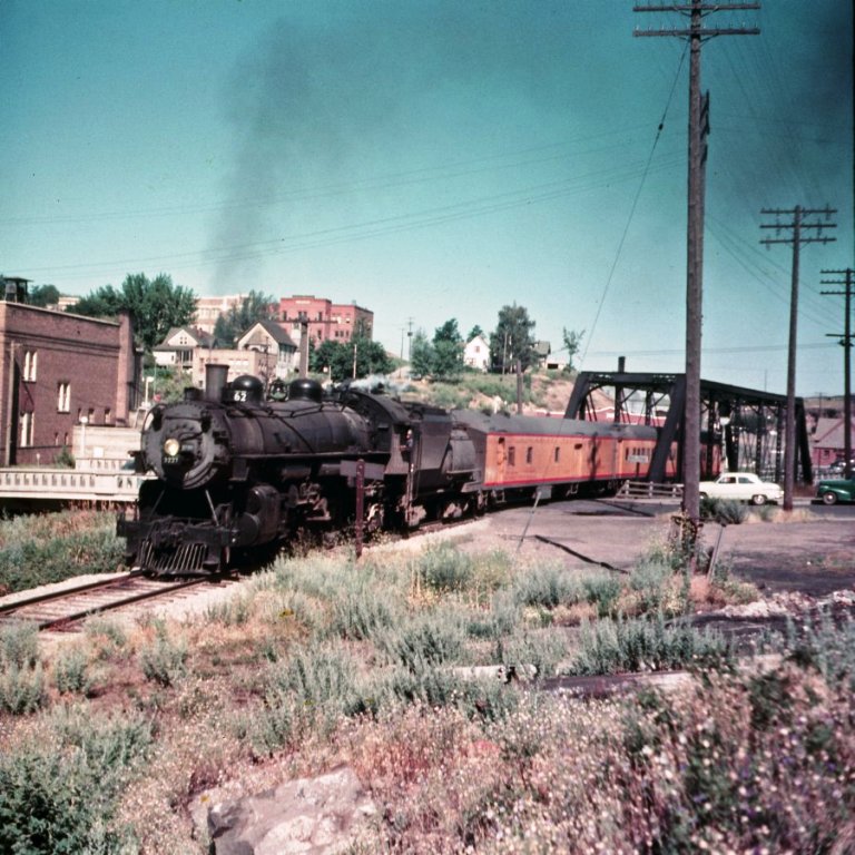
UP train 62 running from Ayer Jct WA To Moscow ID has just left the Pullman WA depot on a sunny day in 1952. Bruce Butler photo. The train is crossing Kamiaken Street.


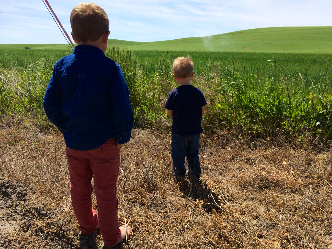

Brothers watching a crop duster, near Fallon, WA, June 2014.


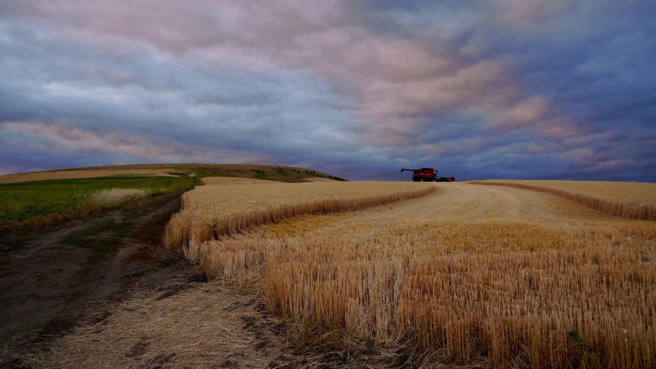
In April on the Palouse, you might look south and see a staggering sunny day, then turn around north to dark, threatening skies. The winter wheat by this time is vivid and green, but the fields still awaiting garbanzos and lentils remain in cake-brown furrows. You can still smell winter when the clouds pass over you and the wind hits your chest, but when they float past, the sun makes you sweat and pull off your jacket.

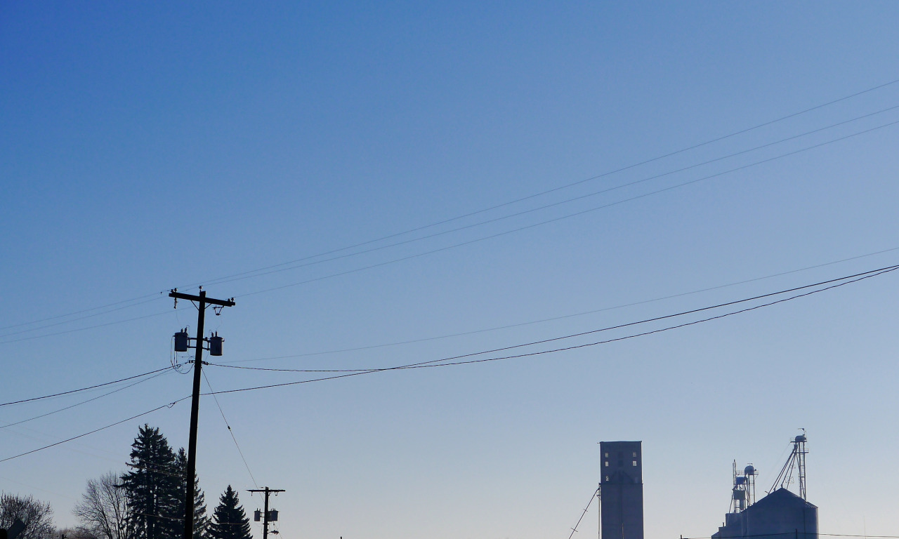
Latah County Grain Growers, Moscow, Idaho, around 11 AM on Christmas Eve, 2013.


Passenger trains once ran between Lewiston, ID and Spokane, WA. From one Bruce Butler, who lensed them as they passed through Pullman. The black & white photo caught the last run of the RPO-equipped, GP9-powered train at the long-gone Pullman depot; the color photo shows the RDC ambling towards Moscow immediately south of Pullman. The road cut in the background of the color image is still there, as is the little bridge under the RDC; WSU is in the background. This area has been extensively developed in the past fifteen years and the passenger trains, of course, are long gone.


Washtucna, Washington
Bronica ETRS & Kodak Ektar
The town’s website says that it’s a safe, quiet place to raise your family. They boast an annual, classic car show and Washtucna stands as the gateway to Palouse Falls. Plus there’s a gas station/coffee shop/gift shop and a tavern.
2012

Looking south from Kamiak Butte, Whitman County, WA. October 2013.

For the freshest Gatorade at the best price, you can’t beat Crossett’s Food Market in Oakesdale, Washington.

The Inland Northwest, as seen by satellites at night. In the northeast of the image, Spokane and Coeur d'Alene. Move south from there through the scattered pinprick towns of the Palouse through the twin lights of Pullman and Moscow down to Lewiston-Clarkston. Go west from L-C through Pomeroy, Dayton, and Waitsburg to Walla Walla (the city shaped like a hatchet). Then west again to the crab-shaped Tri-Cities and curving along the crescent of light in the Yakima Valley. North, then, from Yakima, through Ellensburg and to the Wenatchee Valley. Then back east, skirting Moses Lake and across the dark distances to Spokane.
My main thought looking at this dark and abstracted map is that I love where I live.