
Grass, March to September.
land

Bull.


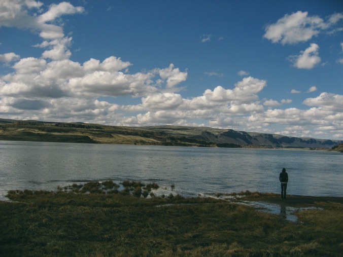
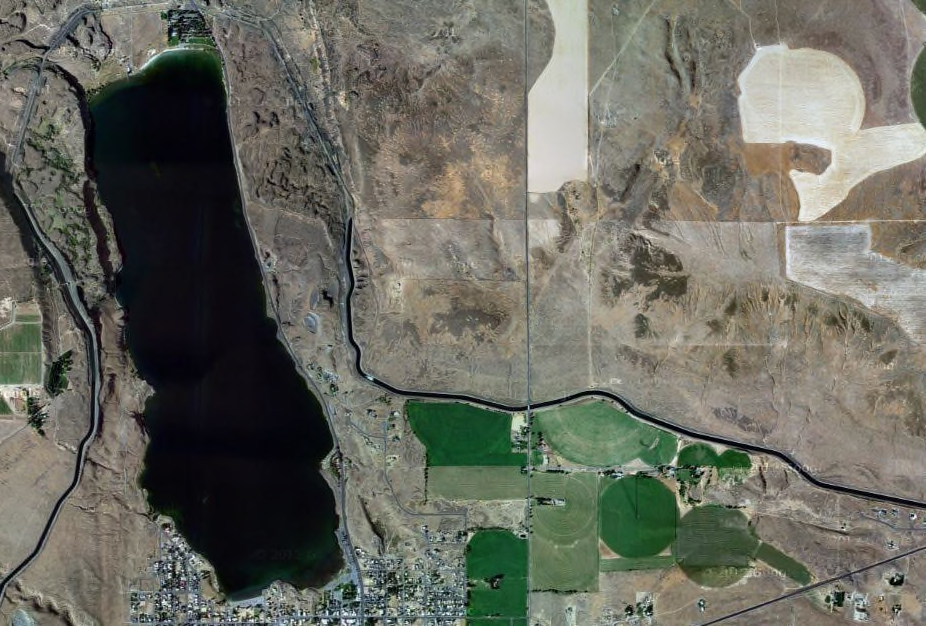
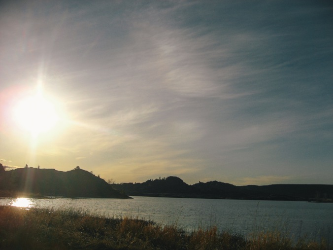
Washtucna, Washington
Bronica ETRS & Kodak Ektar
The town’s website says that it’s a safe, quiet place to raise your family. They boast an annual, classic car show and Washtucna stands as the gateway to Palouse Falls. Plus there’s a gas station/coffee shop/gift shop and a tavern.
2012
“But even more difficult, our age’s individualism greatly decreases a farm’s chance of long-term success. In historical America, the farm was a family-run enterprise. It was more of a generational lifestyle than a “full-time job.” Land was a highly coveted commodity, and a farmer’s children were expected to carry on the work after their father or mother was too tired or old to continue.
But today, children are no longer expected—nor are they usually encouraged—to follow in their parents’ footsteps. Children are not, modernism tells us, to be saddled with the burdens of their forbears. What does this mean for modern farmers? Simply that, unless one of their children takes a liking to the tedium of farm work, today’s agrarians are on their own. They must conjure up a successful, fruitful farm in their few decades of limber life, or else content themselves with a frugal, arduous future.
”


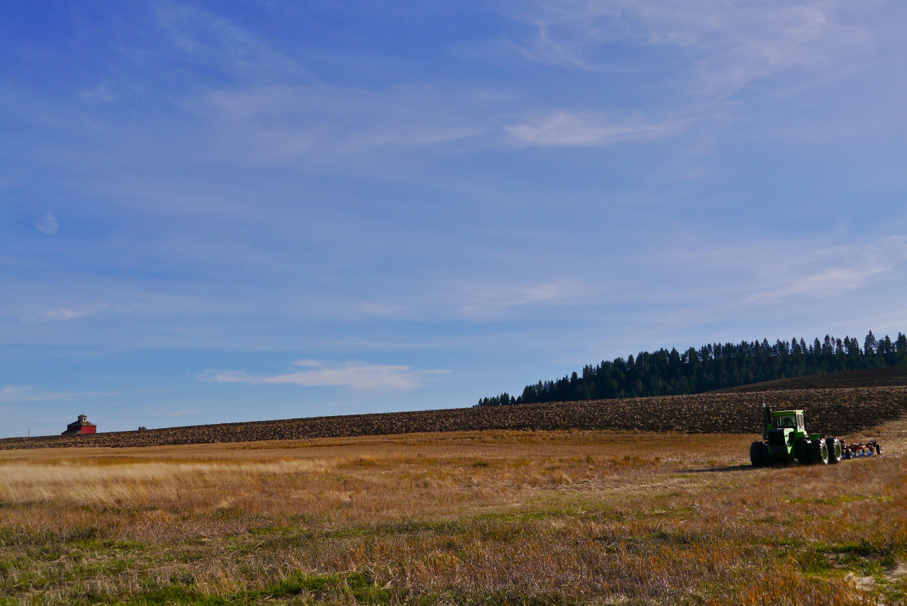
Swinging southeast, State 3 winds around the slopes of low hills that are cultivated to their very summits. On every hand is evidence of the stability of agriculture in this region: except for an occasional splash of yellow-blooming mustard, the fields are almost free of weeds; houses, barns, and outbuildings are neat and substantial; fence posts are erect and securely set and the strands of barbed wire are taut; new automobiles and trucks are seen very frequently.
Washington: A Guide to the Evergreen State (1941)
McCoy, Washington, is a spot on Highway 271 (formerly State 3) between Oakesdale and Rosalia in Whitman County. The hills are still cultivated to their very summits, but the machine agriculture that dominates the Palouse has all but obviated the need for barns, outbuildings, fence posts, and barbed wire.
Looming over the hills on Naff Ridge, just to the south of 271, are the swirling blades and austere white towers of the Palouse Hills Wind Project. The wind is converted into electricity that’s sold elsewhere; the local grid is still mostly powered by hydro-power from the Snake and Columbia rivers.
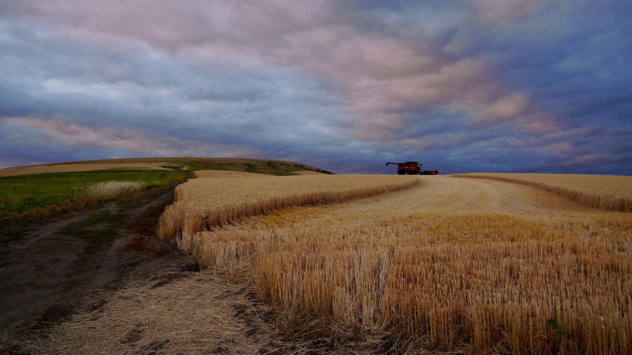
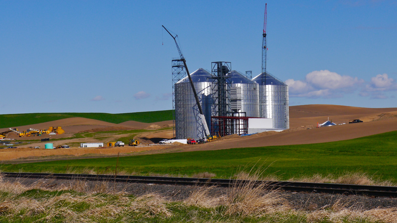
At McCoy, the tall, boxy, aluminum-clad 1940’s-era grain elevator stands within sight of the new McCoy Grain Terminal. Grain from all over the Palouse is trucked to the Terminal, where it is then dumped into 110-car unit grain trains destined for Portland, Longview, Kalama, Tacoma, and other Northwest ports. There, the crop is transfered to the holds of ships bound for Asia. Their work thus exported, the locals stock their pantries with food grown elsewhere down at Crossett’s Food Market in Oakesdale.


Barn and tractor near Kamiak Butte, Whitman County, Washington. Early October, 2013.
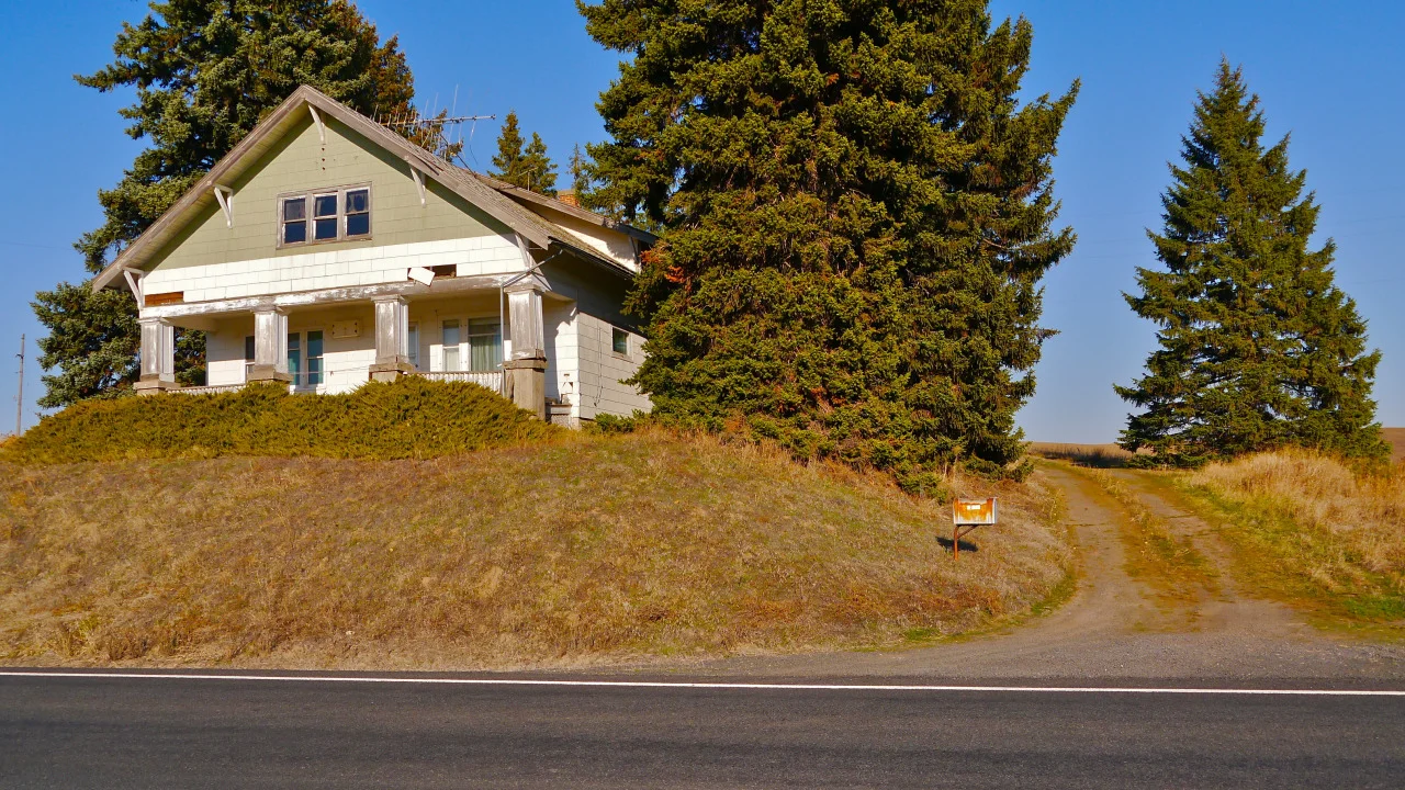

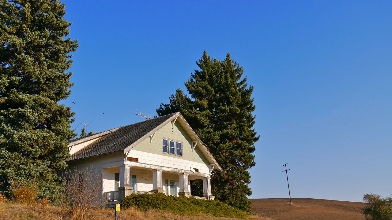

Belmont, Whitman County, Washington. Late October, 2013.


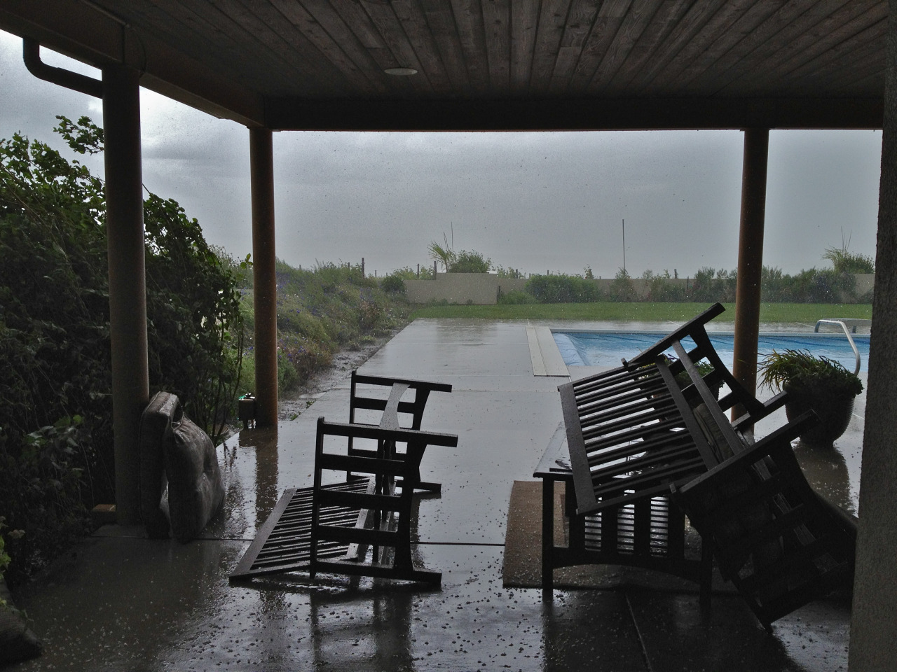
Hailstorm, Walla Walla, Washington, late June 2012.


Crites Seed Co. Moscow, ID, August 2013
“It took us several years before we realized that we were always describing the place we weren’t as “home.””


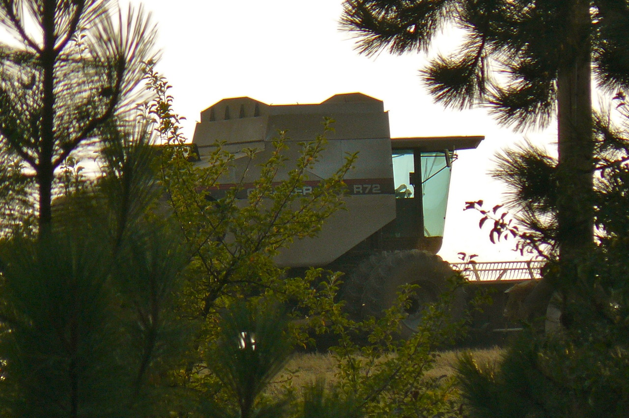
Coming and going. McCoy, Whitman County, Washington.


From American Guide:
THE WORLD’S GREATEST MINERAL SEA
SOAP LAKE, WASHINGTON
“For Stomach Troubles, Constipation, Headache, Rheumatism, or whenever a thorough constitutional remedy is needed, take Soap Lake Capsules. Price 25 cents per box.”
— 1906 advertisement for Soap Lake Remedy Company
At the south end of Washington’s ancient river bed, the Grand Coulee, you’ll find the healing waters of Soap Lake tucked among the columnar basalt cliffs and rim-rock slopes of the central shrub-steppe desert.
Containing 23 different minerals, researchers have determined that the chemistry of the lake has more in common with outer space than it does with Earth’s water. Because the alkalinity of Soap Lake resembles the moons of Jupiter, scientists have studied the lake in an effort to learn about the possibility of life on Mars.
Our human experience of the lake was nothing short of miraculous, as we polar-bear plunged the coastline on a windy day that topped off at cool 38 degrees. The soap-like waters leave behind an oily film that promises to cure what ails you. The plaque at the beach boldly declares that “…This is indeed a god-given body of water for to cure all the ills of mankind.”
And if all that isn’t remarkable enough, the city of Soap Lake plans to install a 50-foot Lava Lamp on Main Street. Just because.


The Inland Northwest, as seen by satellites at night. In the northeast of the image, Spokane and Coeur d'Alene. Move south from there through the scattered pinprick towns of the Palouse through the twin lights of Pullman and Moscow down to Lewiston-Clarkston. Go west from L-C through Pomeroy, Dayton, and Waitsburg to Walla Walla (the city shaped like a hatchet). Then west again to the crab-shaped Tri-Cities and curving along the crescent of light in the Yakima Valley. North, then, from Yakima, through Ellensburg and to the Wenatchee Valley. Then back east, skirting Moses Lake and across the dark distances to Spokane.
My main thought looking at this dark and abstracted map is that I love where I live.

From Railpictures. Photographer Blair Kooistra says of this photo:
While trains detoured around the south end of the lake via Union Paciifc’s former Western Pacific, Southern Pacific work crews valiantly regained the route across the Great Salt Lake foot by foot in the summer 1986 after storms and high water washed away the railroad. While work trains dumped “armor rock” and gravel from either end to restore the roadbed, it was earth movers and maintenance workers who raised the rock fill and brought the washed-away tracks back into alignment. On the western portion of the lake between Lakeside and Strongknob, a work crew contemplates their next move.
“The study was done on land owned by Iowa State University called the Marsden Farm. On 22 acres of it, beginning in 2003, researchers set up three plots: one replicated the typical Midwestern cycle of planting corn one year and then soybeans the next, along with its routine mix of chemicals. On another, they planted a three-year cycle that included oats; the third plot added a four-year cycle and alfalfa. The longer rotations also integrated the raising of livestock, whose manure was used as fertilizer.
The results were stunning: The longer rotations produced better yields of both corn and soy, reduced the need for nitrogen fertilizer and herbicides by up to 88 percent, reduced the amounts of toxins in groundwater 200-fold and didn’t reduce profits by a single cent.
In short, there was only upside — and no downside at all — associated with the longer rotations. There was an increase in labor costs, but remember that profits were stable. So this is a matter of paying people for their knowledge and smart work instead of paying chemical companies for poisons. And it’s a high-stakes game; according to the Environmental Protection Agency, about five billion pounds of pesticidesare used each year in the United States.
”

Sneezing momma-to-be…
Where Finch sleeps, Palouse, WA.